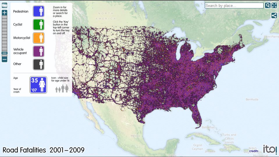
A road safety friend sent and email to the Arrive Alive website which provides amazing insights to the road fatalities in the USA
Using information from the Fatality Analysis Reporting System of the National Highway Traffic Safety Administration, this map displays the location of every fatality that occurred on roads in the United States as a result of a collision involving a motor vehicle in the years 2001 through 2009. Map symbols indicate whether the person was a pedestrian, bicyclist, motorcyclist, or vehicle occupant. The year of the crash and the age and sex of the fatality are also displayed.
Fatality data for the USA online mapping is supplied via the Fatality Analysis Reporting System of the National Highway Traffic Safety Administration
Base mapping tiles and search facilities for Road Casualties UK are provided courtesy of MapQuest based on mapping data from OpenStreetMapand contributors. It is available under a Creative Commons licence (cc-by-sa 2.0).
We have a similar map for the UK and are keen to also create one for Canada using their data and for any other country that can provide us with suitable geocoded information. If you want to see a map for your country and know where we can get data then people email us at info@itoworld.com with the details.
To view: Road Fatalities USA