South Africa – 18 July 2012 – The Discovery 702 Walk the Talk is one of Joburg’s most well-loved and supported outdoor events attracting 50 000 entrants for the 5km, 8km, 15km and 30km walks. The walk takes place this Sunday 22 July 2012 and for the second year running, mapIT, the leader in digital mapping, will provide support for participants, spectators, local residents and organisers of the race with its online mapping service.
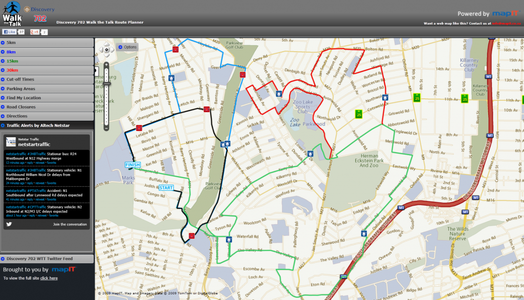
A fully interactive map indicating the 5km, 8km 15km and 30km routes, profiles for the 15km and 30km,, water points, , doggy ‘rest stops’ ,street level zooming, directions around road closures, parking areas and live traffic twitter feeds are available on http://walkthetalk.mapit.co.za to make the experience a little easier for entrants, spectators and local residents. To view the route planner visit http://walkthetalk.mapit.co.za/
“mapIT supported this event last year which proved greatly successful. This year we have a new layout creating a faster user experience via a clearly indexed map. We have also added cut-off times as well as parking and road closure information,” explains mapIT Managing Director, Etienne Louw. “More importantly though, is that we have also added routing alternatives around the road closures. By clicking on the ‘get directions’ tab you can plan a route around the walk routes to ensure you do not get stuck in traffic on the day. To further enhance this feature, we have added a twitter traffic feed, provided by Altech Netstar Traffic, which will keep commuters informed with up to date traffic information around the area on the day”.
For more information on the race or to access the map, visit www.walkthetalk.co.za.
About mapIT
mapIT offers businesses high quality digital maps with accurate and extensive coverage of Sub-Saharan Africa and across the globe. Furthermore they offer this map data on the world’s foremost Location Based Services (LBS) platform, mapIT are an all-encompassing digital mapping company. Working together with TomTom Africa, Avusa and Partners, mapIT establishes innovative and comprehensive suites of digital mapping platforms to position itself as the leading international enabler of accurate location-based platforms throughout Sub-Saharan Africa. For more information visit http://www.mapit.co.za
