
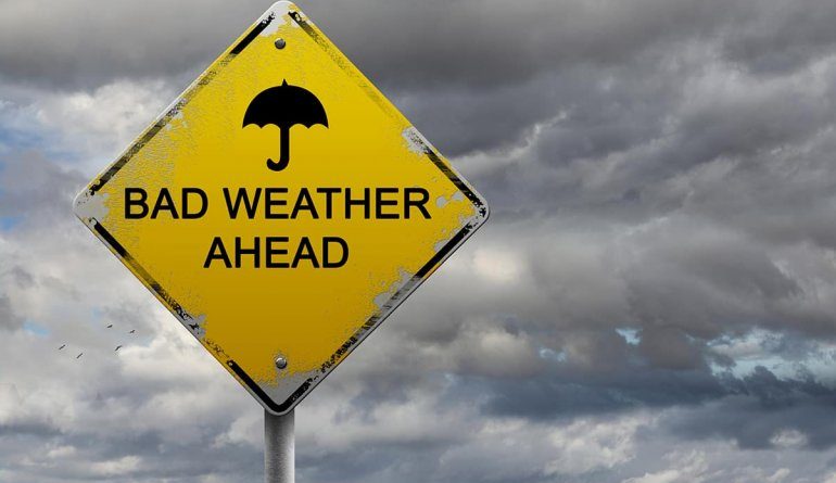
A powerful cold front is expected to hit KwaZulu-Natal (KZN) this weekend, bringing damaging winds, heavy rain, and snow in high-altitude areas.
The South African Weather Service warns of heavy rain and localised flooding in some areas, particularly in the Eastern Cape and southern KZN.
The N3 highway at Van Reenen’s Pass is expected to be disrupted, and strong damaging surface winds will lead to an elevated risk of wildfires, especially in the eastern interior of the country.
Residents are urged to take necessary precautions to prevent wildfires.
Rough seas and hazardous navigation are also expected, with wave heights reaching up to 6 meters in some areas. Inland areas will experience cold to very cold conditions, with snowfall predicted in elevated regions, such as the Drakensberg mountains.
The cold front will impact many parts of KZN and surrounding regions, making it essential to stay informed and take precautions. Loose objects should be secured to prevent damage, and residents should be cautious when navigating the coastline, especially around ports and harbors. Drivers are advised to exercise caution on the roads, as reduced visibility and slippery surfaces may lead to accidents.