Many South Africans experienced a hot to very hot start to spring, except for parts of the Cape provinces, after the first heat wave of the season occurred over parts of Mpumalanga and Limpopo.
Weather conditions are expected to change significantly as a cold front and cut-off low-pressure system (the northwards displacement of a deep low-pressure system) will introduce wintery conditions to the Western Cape, southern parts of the Northern Cape and the Eastern Cape from Thursday, 19 September 2024. Significantly colder conditions will then spread to KwaZulu-Natal, the Free State and Mpumalanga on Friday, 20 September, and reach Gauteng, North West and Limpopo on Saturday, 21 September.
Disruptive snowfall and bitterly cold conditions are expected to affect the high-lying areas of the Eastern Cape (especially the north-eastern high-ground) from Thursday, spreading to the eastern and southern high-ground of the Free State, the western and southern high-ground of KwaZulu-Natal and extending as far as the southern Highveld of Mpumalanga on Friday into Saturday morning. The public and small stock farmers are advised to take the necessary precautions ahead of the expected adverse weather conditions to ensure the safety and health of their animals.
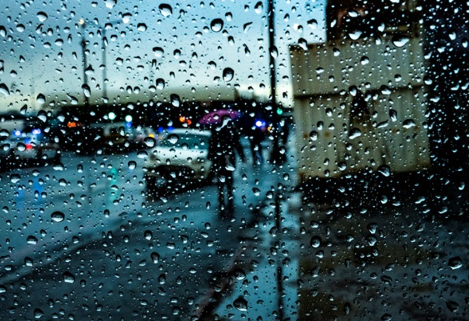
A cold front arrives in the Western Cape today, Wednesday, 18 September 2024, resulting in showers and rain over the south-western parts, spreading to the Garden Route and Little Karoo by this evening and to the Eastern Cape tomorrow, Thursday, 19 September. It will be cold to very cold over parts of the Western Cape interior and the Eastern Cape on Thursday. Strong to near-gale force winds with rough seas of 4,0 to 6,0 m are likely along the Western Cape coast today, spreading to parts of the Eastern Cape coast overnight and to the coast of KwaZulu-Natal tomorrow. Light snowfalls are likely to occur over the eastern mountains of the Western Cape and the northern high-ground and mountains of the Eastern Cape, mainly from Thursday afternoon into the evening, while becoming disruptive over the north-eastern high ground of the Eastern Cape later in the evening. In contrast, very hot to extremely hot temperatures (exceeding 38 to 40°C) are expected to occur over parts of the Limpopo Valley and Lowveld of Limpopo ahead of this
system.
On Friday, 20 September 2024, an intense cut-off low pressure system will develop along the border of the Northern and Eastern Cape provinces and will move into the southern parts of the Free State in the evening. This system will result in widespread showers and thundershowers over parts of the Eastern Cape and KwaZulu-Natal (with possible heavy rainfall along the coastal regions), while scattered thunderstorms are possible over parts of Gauteng, western Limpopo, the eastern parts of the North West and the Free State as well as parts of Mpumalanga. Bitterly cold daytime temperatures of 4 to 8°C can be expected over the high-lying areas of the Eastern Cape, the eastern Free State, and the interior of KwaZulu-Natal, where widespread snowfall is likely. Current numerical weather prediction models indicate the possibility of light snowfall over the southern parts of Gauteng and the remainder of the Highveld of Mpumalanga on Saturday morning. However, there is significant uncertainty regarding this outlook, as the forecast may still change.
Disruptive snowfall of 15 to 30 cm can be expected over the north-eastern high-lying areas of the Eastern Cape, the western and southern areas of KwaZulu-Natal, the eastern Free State and the southern Highveld and escarpment of Mpumalanga, mainly on Friday, 20 September, continuing into Saturday morning, 21 September. This may result in the closure of mountain passes, loss of livestock and crops, and affect majortraffic routes (parts of the N3, N5 and N11). Cold to very cold daytime temperatures (8 to 12°C) can also be expected over Gauteng and the eastern parts of North West on Saturday, 21 September.
The cut-off low is expected to weaken and exit the country from Saturday afternoon. Daytime temperatures are expected to recover quickly from Sunday into Monday across eastern South Africa. The South African Weather Service will therefore continue to monitor any further developments relating to this weather system and will issue subsequent updates as required. Furthermore, the public is urged and encouraged to regularly follow weather forecasts on television and radio. Updated information in this regard will regularly be available at www.weathersa.co.za as well as via the SA Weather Service X account @SAWeatherServic.